
PlaceFinder


HOME /
St. Peters Bay, a bay, is located in Kings County in the eastern portion of Prince Edward Island. Its precise location is N 46°26', W 62°40'.
This page is a comprehensive index of all of the information on our website related to St. Peters Bay. You can also search for information on other communities.
| Aerial Photographs |
Aerial photography courtesy of AirScapes. All aerial photographs are available for sale, as prints or slides; please contact AirScapes for details. You can also see a complete list of aerial photographs of the Island.
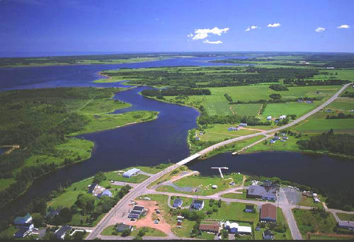
 | Morell River 500 x 342 - 43K 708 x 485 - 65K |
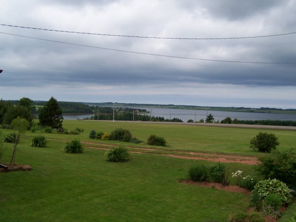
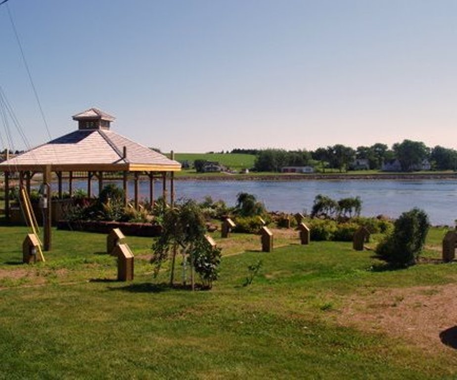
| Community Photographs |
Our community photographs collection includes selected photos of schools, churches, parks, and other public buildings, areas and events. .
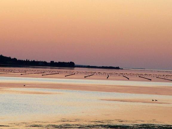
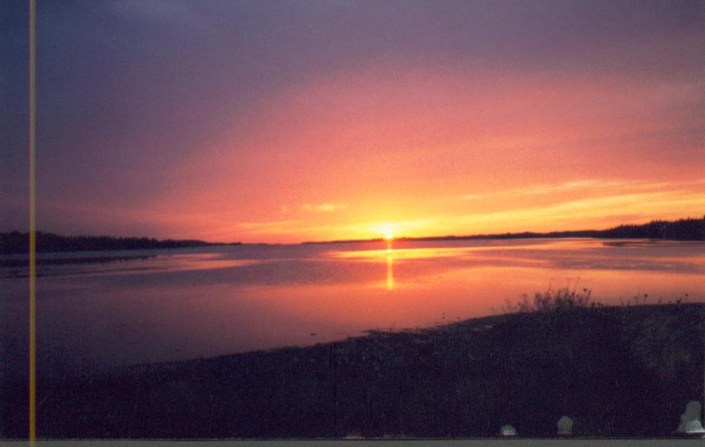
 | Sunset on the water. Credit: 2009 Earle Dunphy 576 x 432 - 37K 1024 x 768 - 169K |  | View of St. Peter's Bay Credit: 2009 Theresa Lewis 500 x 375 - 118K 1024 x 768 - 336K |
 | St. Peters Bay Credit: 2010 Margaret Lang 451 x 375 - 45K 924 x 768 - 111K |  | Sunset in St. Peter's Bay Credit: 2006 Theresa Lewis 500 x 317 - 25K 1024 x 649 - 68K |
| Visitors Guide Listings |
Our Visitors Guide is a complete vacation planning manual.
| The Geography of St. Peters Bay |
Maps
You can use our interactive maps to
display maps of St. Peters Bay and area.
Click on the map link:
Show Map
| Statistical Information |
| History of the Name |
The official history of the geographic name St. Peters Bay (which can be somewhat technical, we admit):
Village name of St. Peters.
Information courtesy Geomatics Canada .